James Bordeaux Trading Post
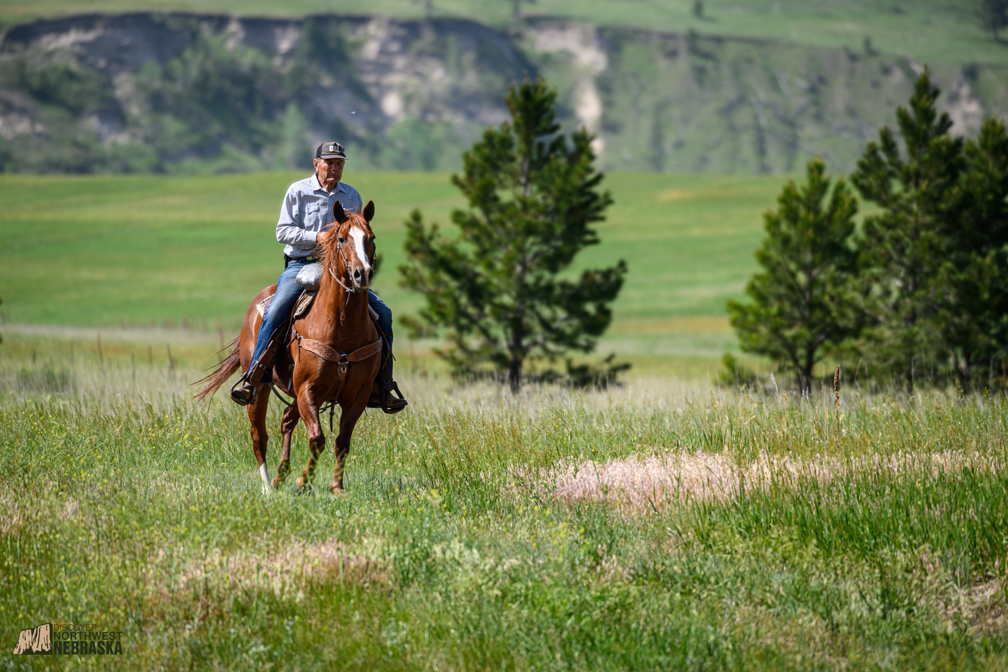
Chadron-Chicago Horse Race
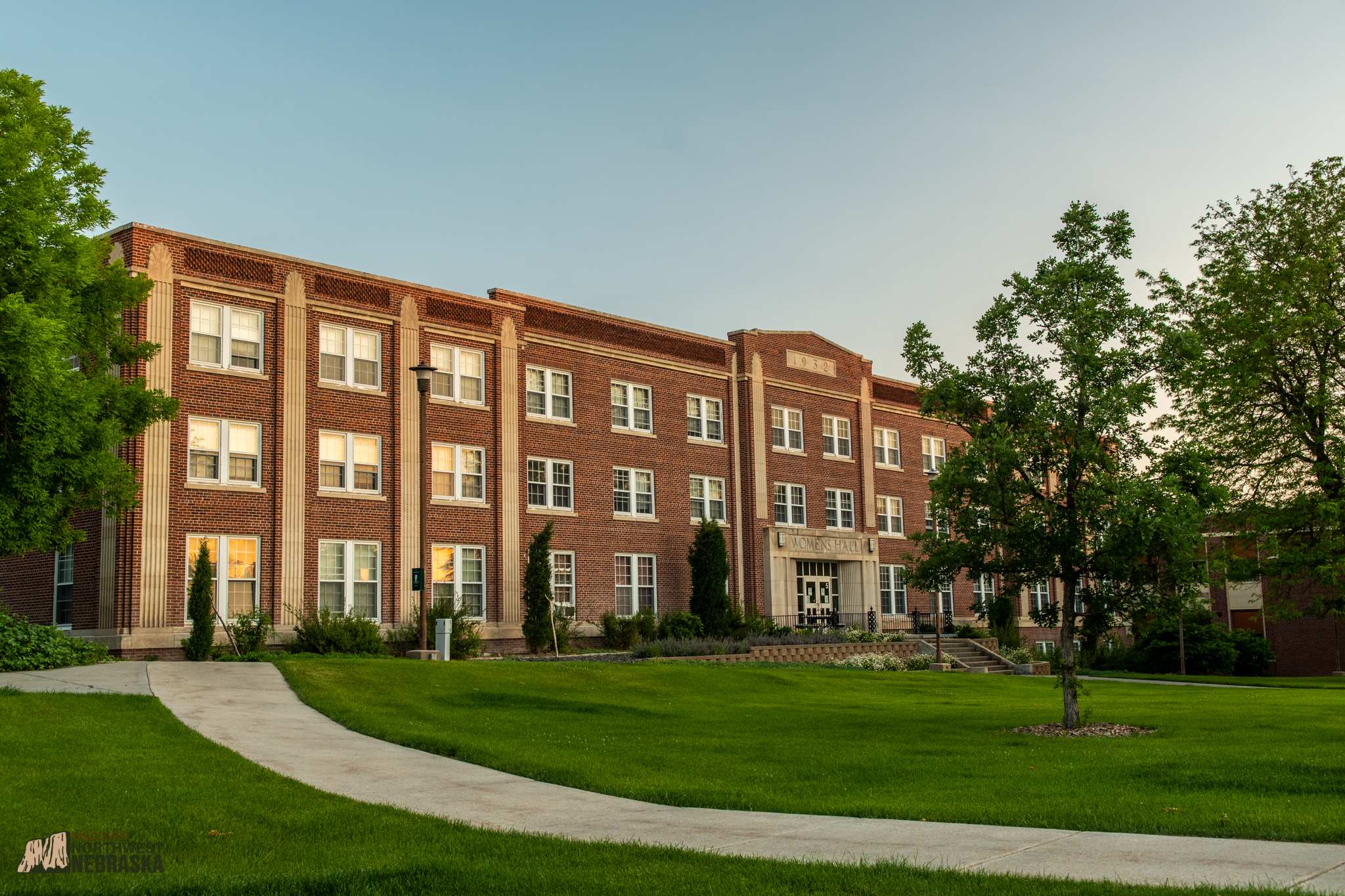
Chadron State College
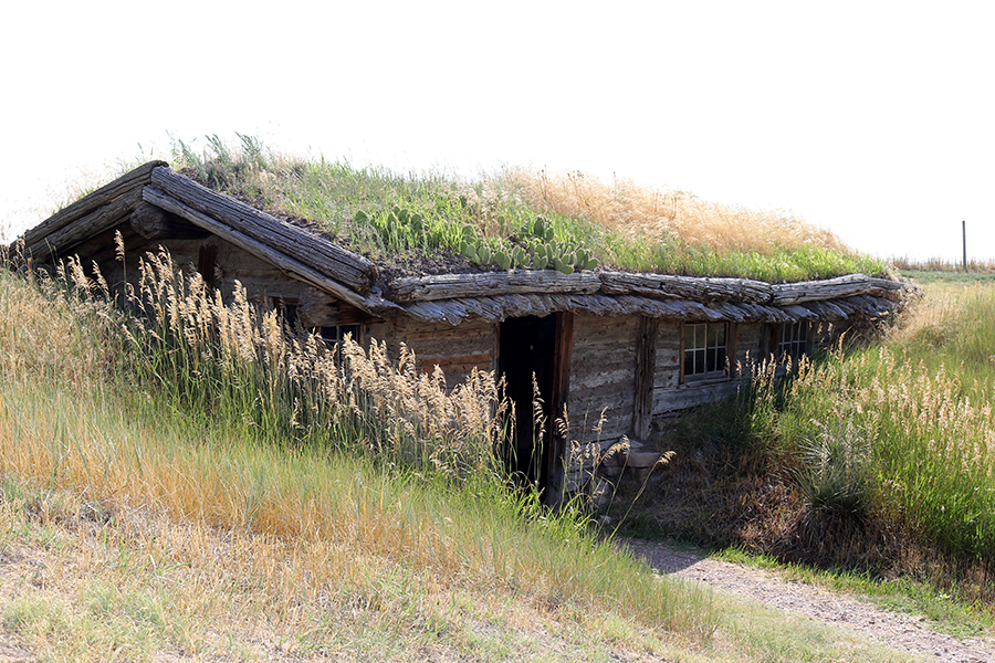
Chadron Creek Trading Post
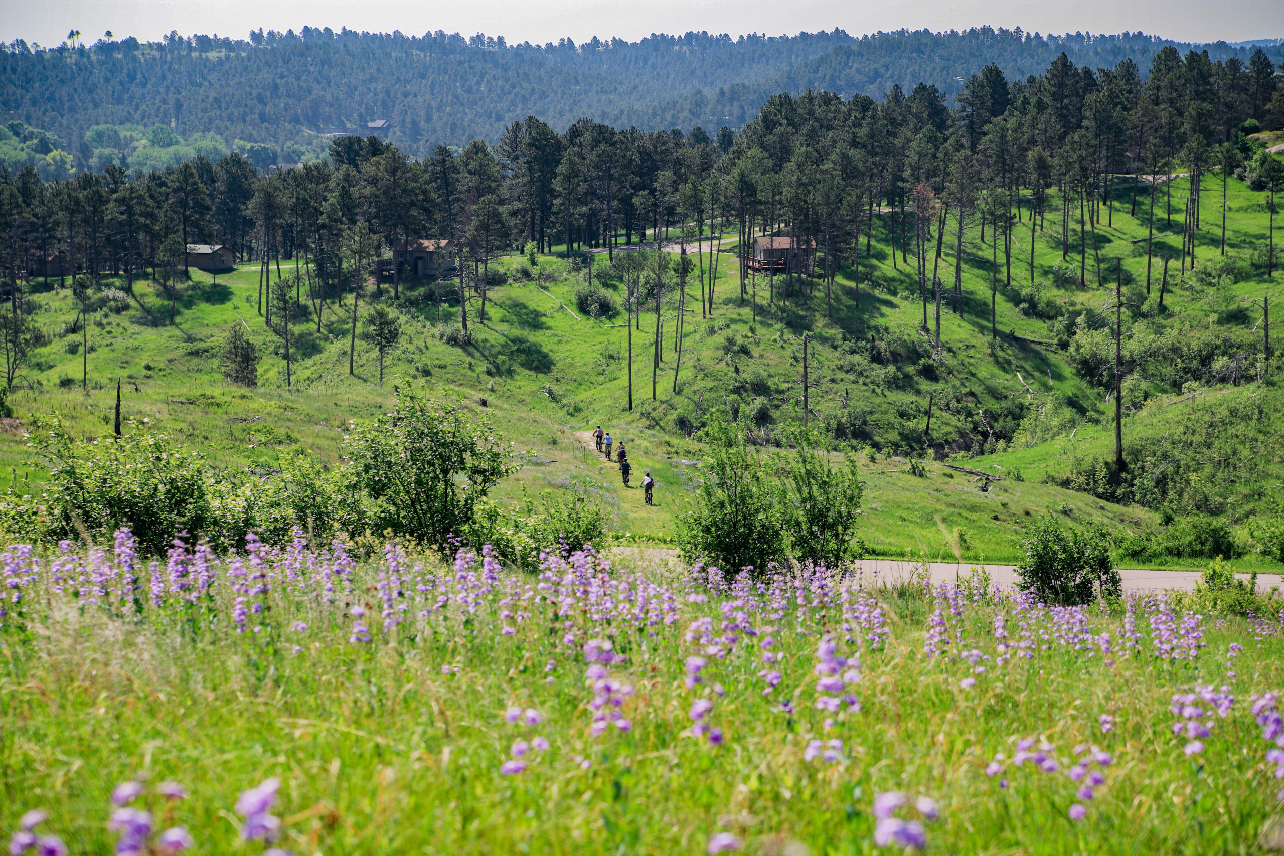
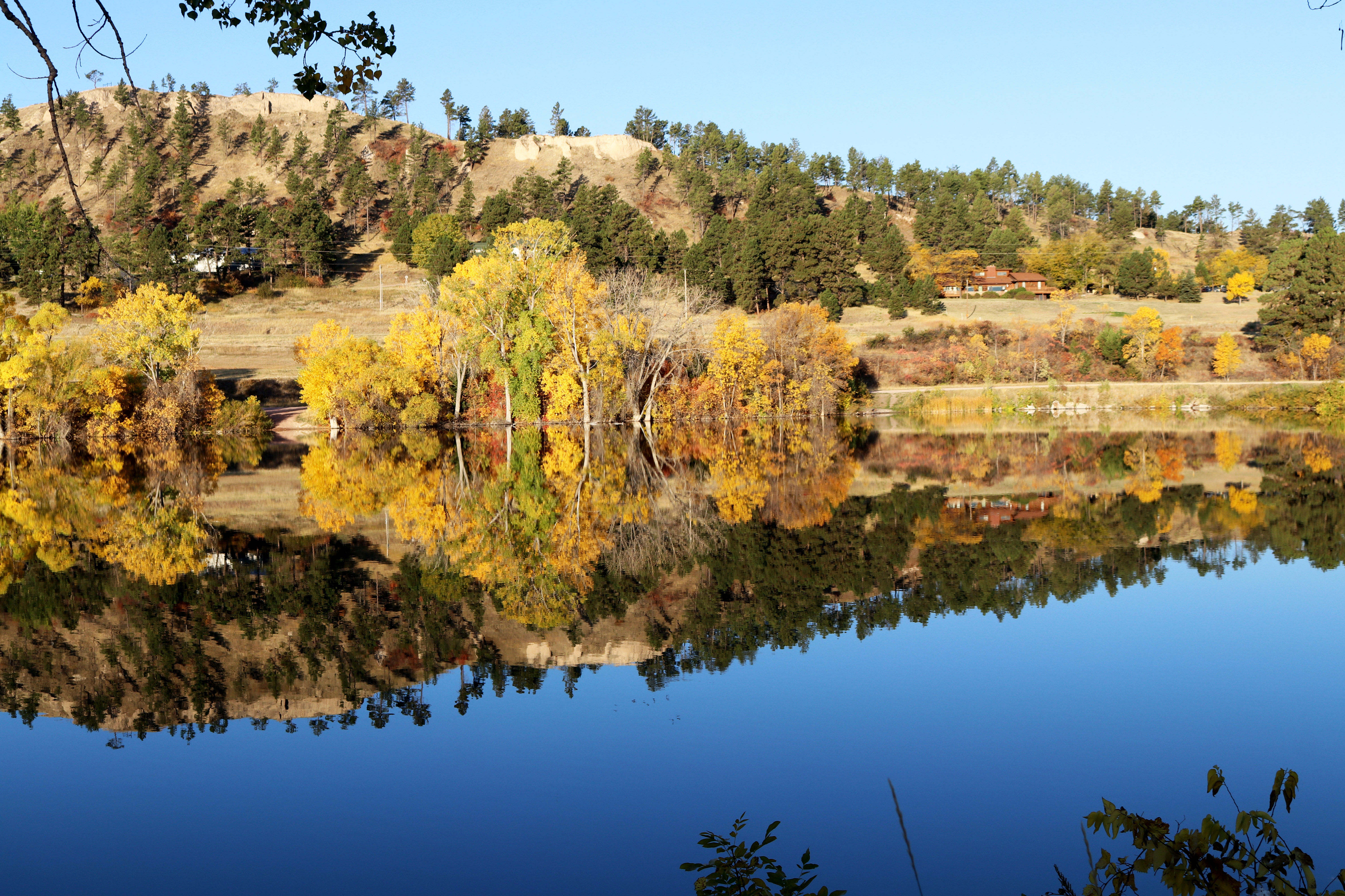
Chadron State Park
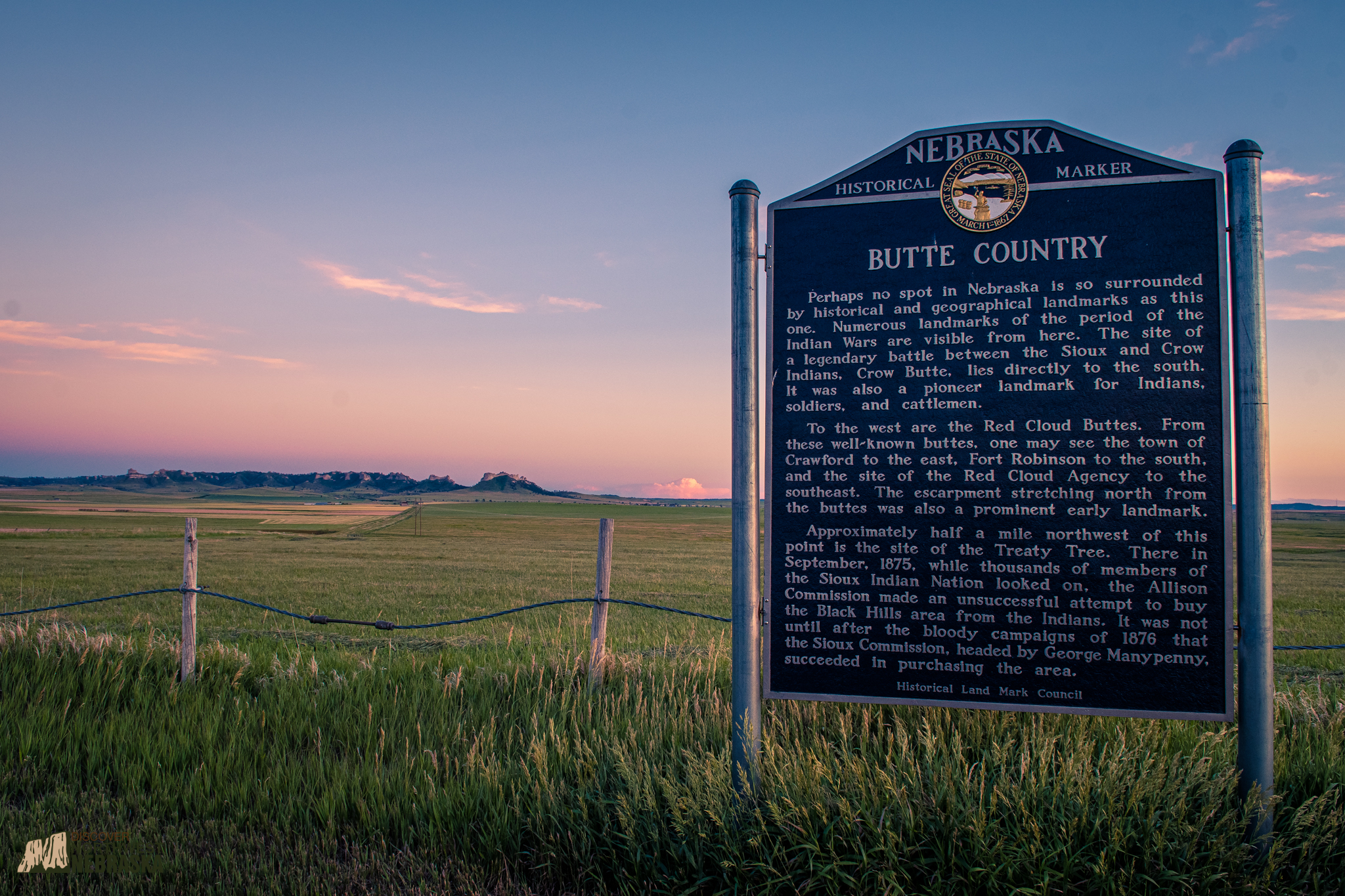
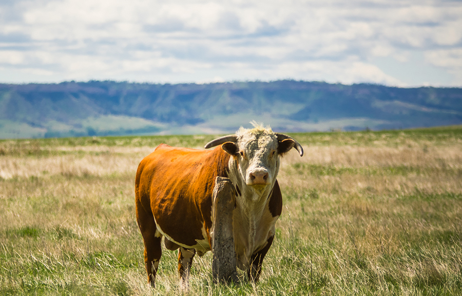
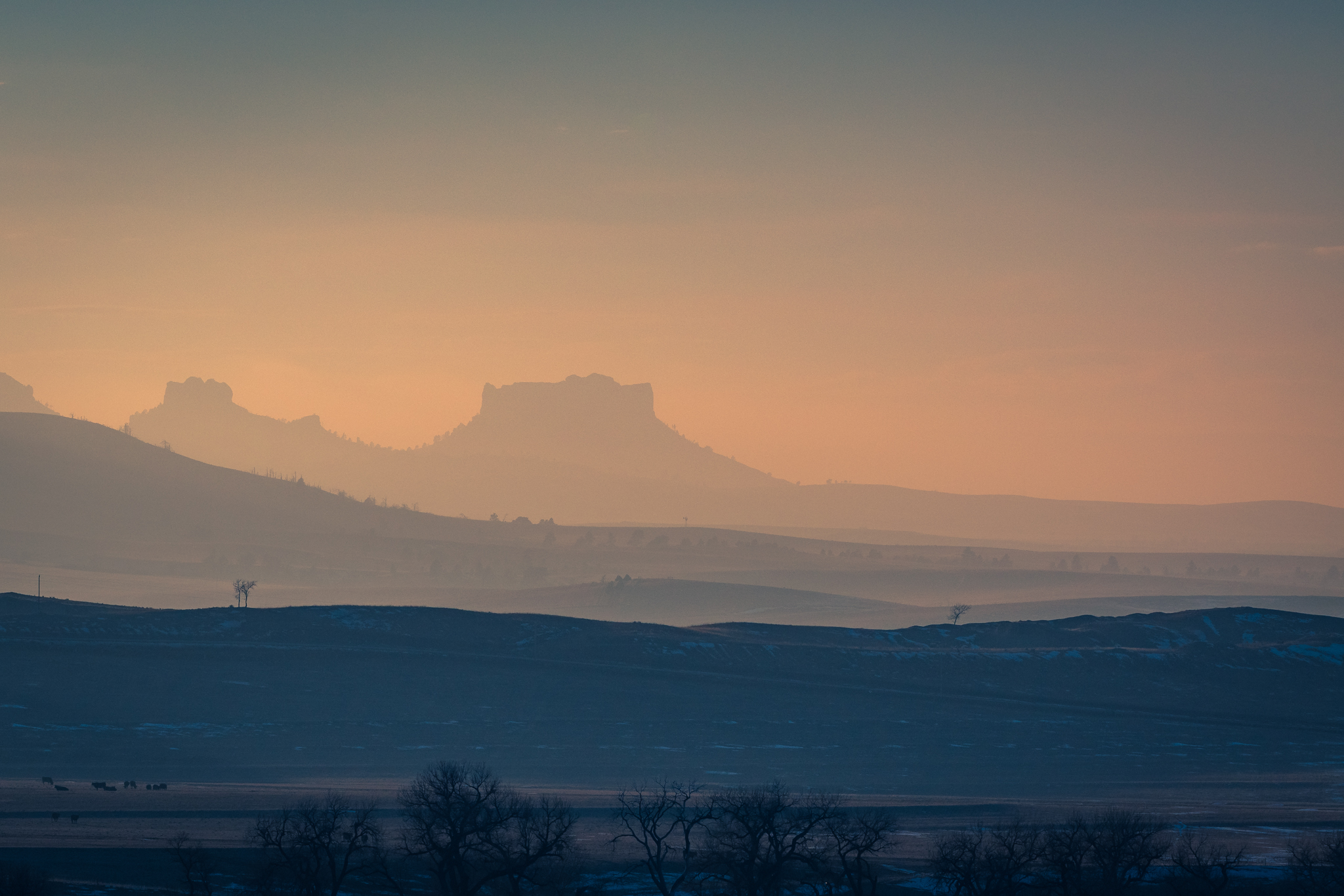
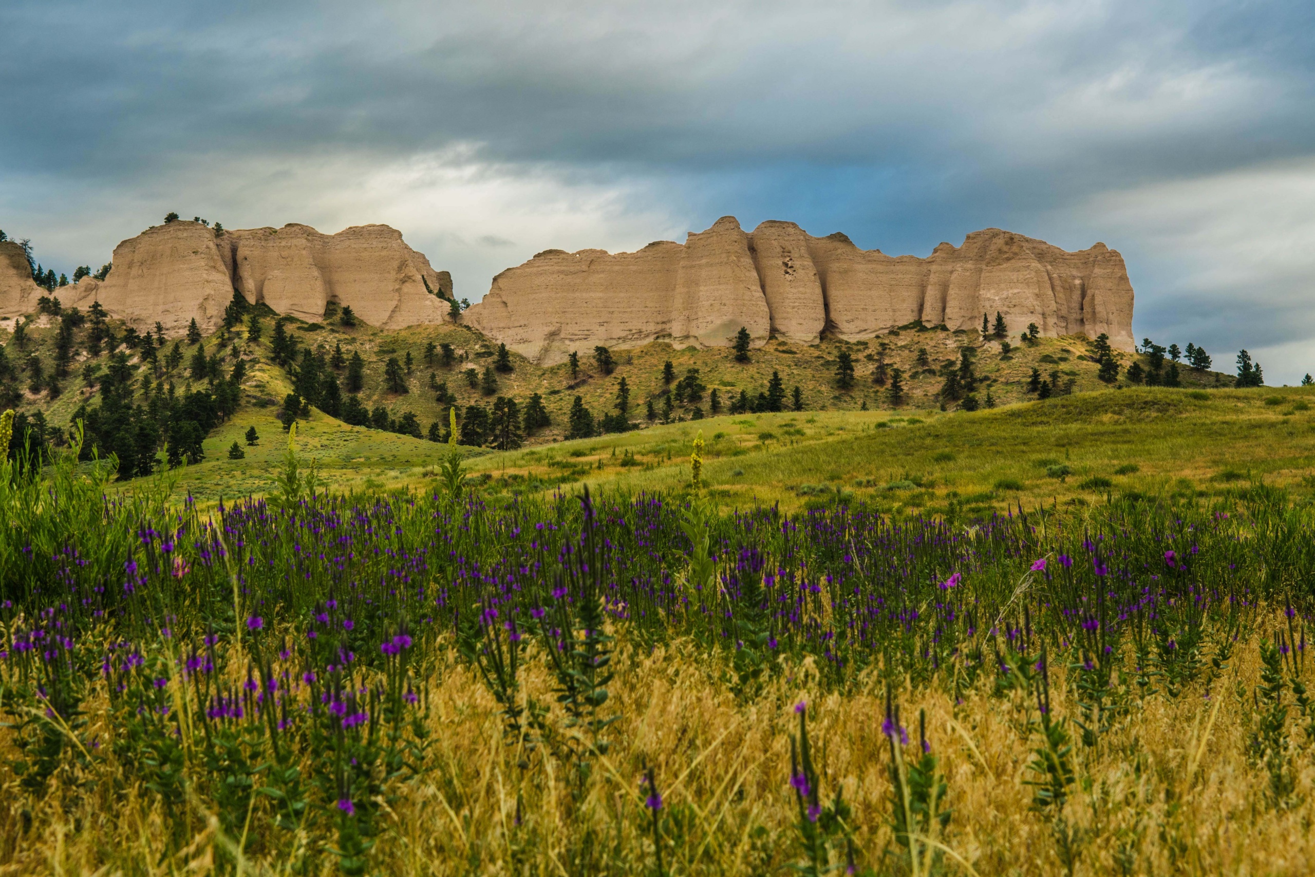
Butte Country
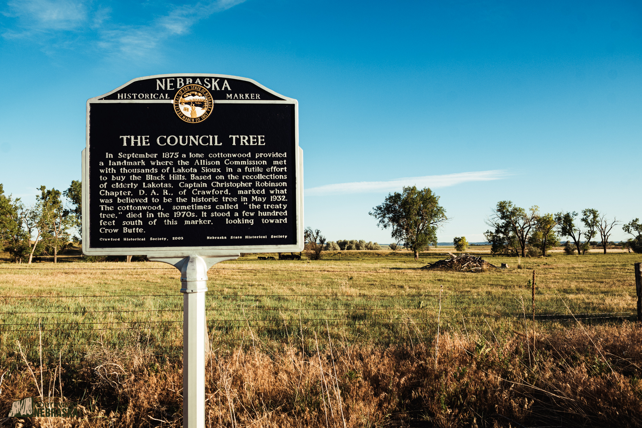
Council Tree
Crawford
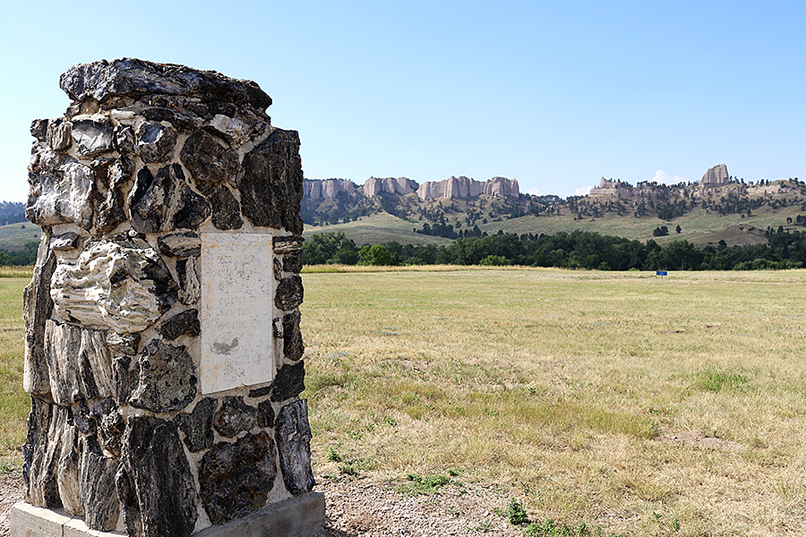
Fort Robinson
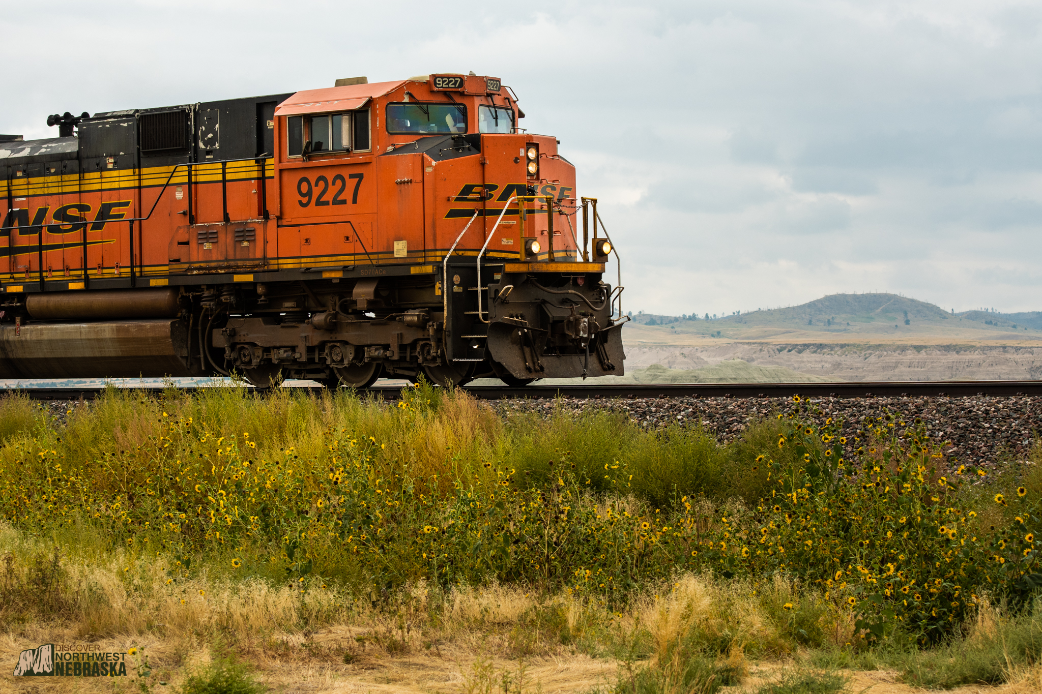
Fort Robinson & the Railroad
Red Cloud Agency
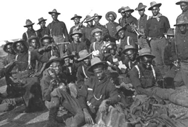
Buffalo Soldiers
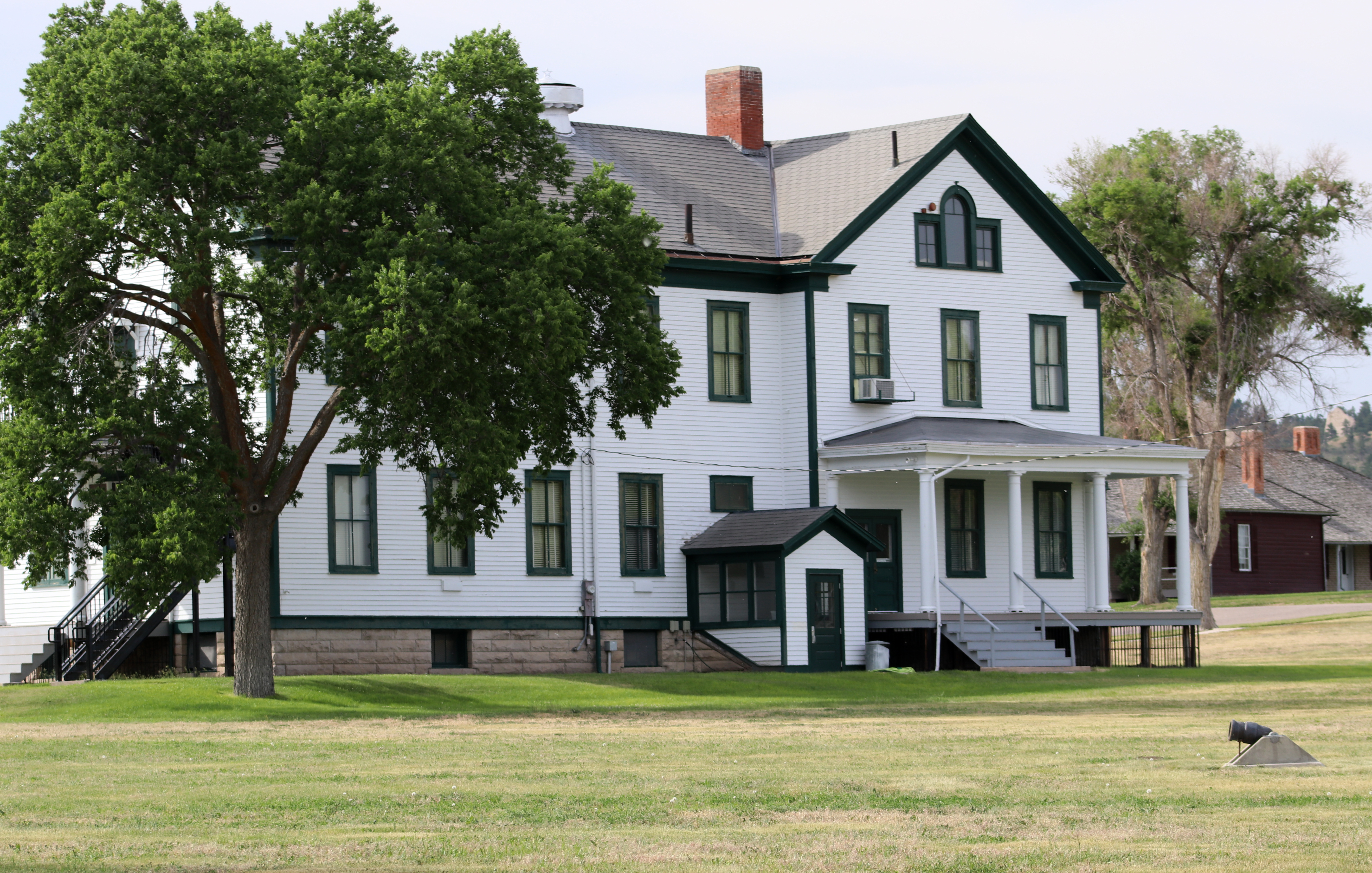
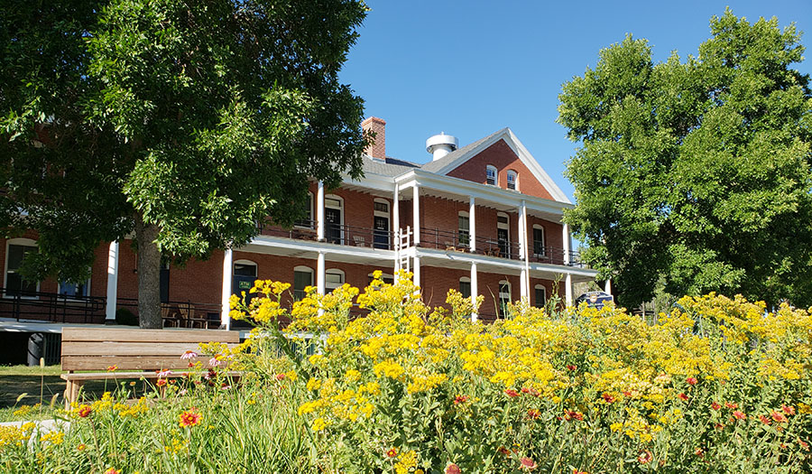
Post Headquarters, 1905
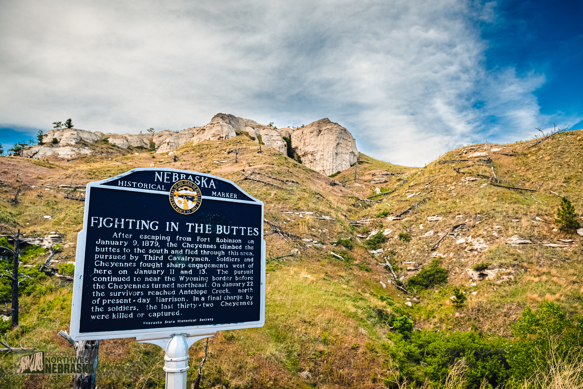
Fighting in the Buttes
Cheyenne Outbreak
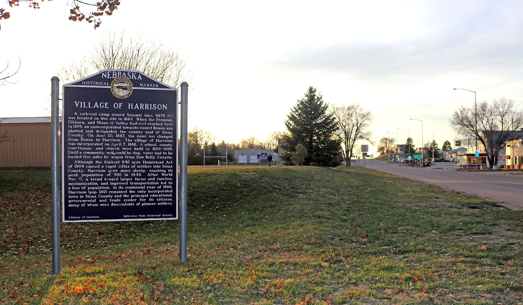
Harrison